So for my mates that wanted some pics from the island where our family cabin is, here goes.
The island is called "Ulvön" and the part where we have the cabin is "Norrbysbodarna".
There are actually "Norra Ulvön" and "Södra Ulvön", so the north and south island, we are on the north part, as are most of the populated areas.
This is located in the area called "Höga Kusten" which is on the world heritage list.
Click any pic to see it bigger.
August 20
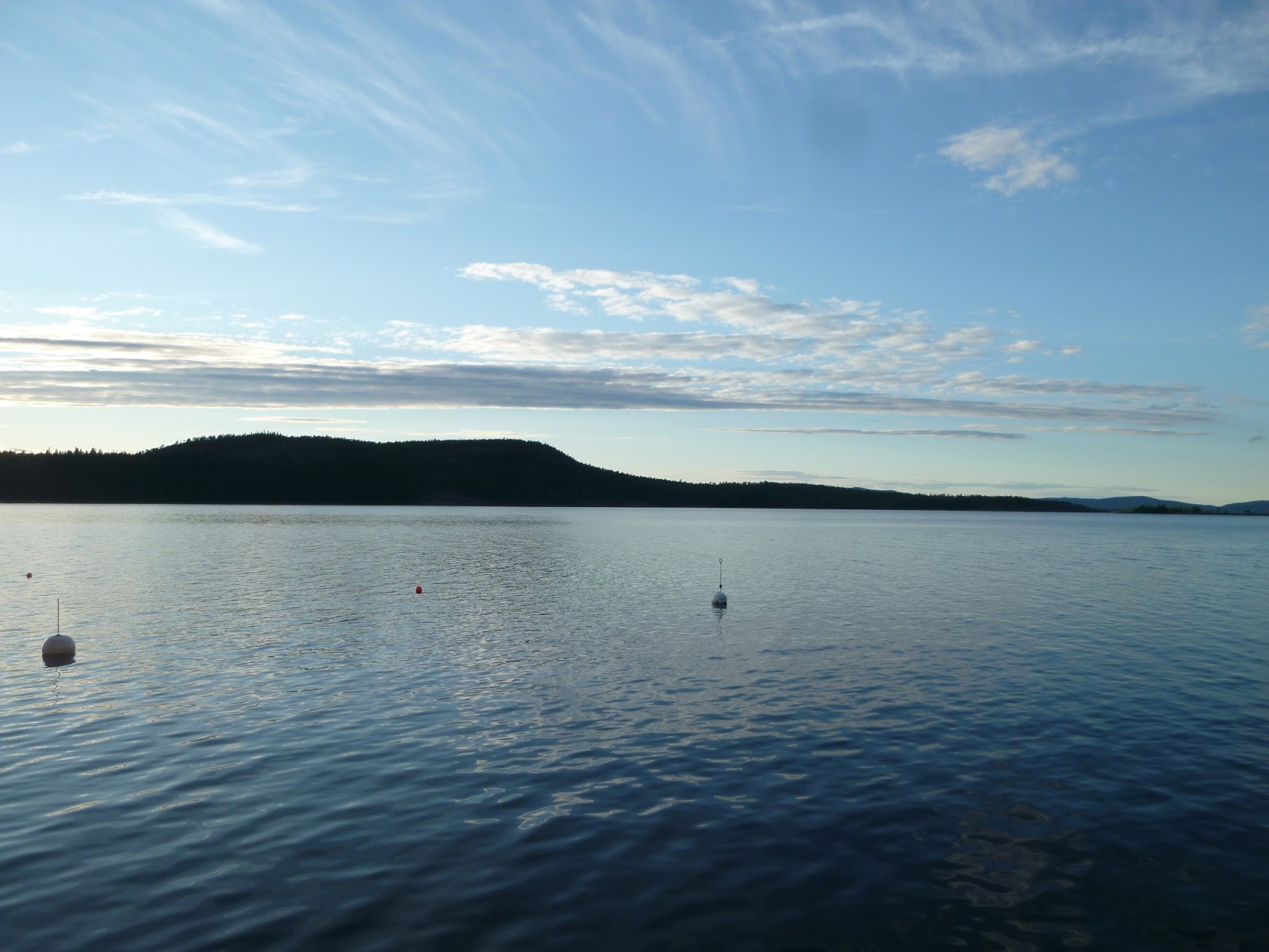
First a pic from the boat, heading out from the mainland, just leaving "Näske" marina.

Getting closer to the island.

View from the cabin. Our boathouse is the one to the far left.

The cabin itself.

View from the boathouse. To the left the boat in which I arrived.

August 21
The start of the road that will take me to "norrsand" beach, walking there.

Closing in, you can start to see the ocean.

There it is "Norrsand" beach on the east coast of the island and "Bottenhavet" ocean.

A snapshot towards the north from the beach.

Walking back home, getting closer to "Norrbyn".

Later took the 3-wheeled moped close to "Ulvöhamn" harbor, left it a bit from the place and walked down, a pic from me getting close to it. You can see the south island on the other side of the bay.

Ulvöhamn society and the bay between north and south Ulvön.

Stopped by "Ulvö Hotell" for a beer. First time I had a beer from "Hernö Hantverksöl" in Hörnösand, this one was "Hernö Pale Ale".

Yet another view over the bay.

Stopped the moped before one of the big hills going home, another scenic view.

Sun setting, pic from the boathouse towards the west and the island "Ronön".
Still sunset, pic more towards the south from the boathouse.

And of course one more towards north as well.

Ah hell, I'm a sucker for sunsets, one from the house too.

August 22
First adventure for the day was to climb the closest mountain, "Valberget". First pic is not quite at the top, taking in the view towards the north or northwest.

Still not quite at the top, but could sneak in a pic of the ferry passing back to the mainland, as well as our yellow cabin down there as well.

Up there! Here's the southern tail of "Ronön" and behind that Swedish highest island, "Mjältön".

The view towards the south.

I was there too! I'm sure adding to the beauty of the shot, no?

And one more view towards the east, the mountain to the left is "Norra Vårdkasberget", I didn't know it yet, but would climb that later this day. The water in between the two mountains is by the beach "Norrsand".

Got on the moped and drove to the very tip of the north part of the island, walked out to the west part of the beach and snapped a pic of "Sandviken". This is where my moms dad used to work as a fisherman a long time ago. The fishing camp closed down in 1945.

View towards the northeast.

View to the west.

The chapel in Sandviken, I think I might have been baptised there, if not it was my brother, if not that either it is where my mom married my dad. Hmm, should I know this stuff?

Driving back stopped by "Sandvikssjön", where I used to go fishing for European perch as a kid.

Stopped once more on the way back, left the moped behind and climbed the north "Vårdkasberget" mountain. First pic might be the view to the east.

From the top still, more towards the north.

And one more towards the south as well.

A pic that shows the huge esker you need to cross to get up the mountain.

Aight, that's it so far, not sure I'll take any more pics.
Inga kommentarer:
Skicka en kommentar